
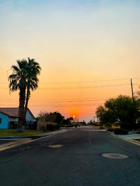
Our morning walks… have been a little different. Instead of our yellow sun and purple mountains we are seeing this bright orange orb rising up and seeing our mountains through a hazy dusty smoke screen.

It’s definitely been interesting to see our desert sky filled with different colors, but we are hoping that everyone who is directly battling the fires, in the denser areas of California and the North West are staying safe and healthy.
But this has also got us thinking…..what is our air quality like? How are we being effected?
While we are definitely not directly near a current fire in CA (not since the Apple Valley Fire) we do know that all of the Desert and California is seeing and feeling the effects of smoke from them.
So we did a little research. Here are a few sites and facts about our Valley and its air quality. Check them out and let us know your thoughts!
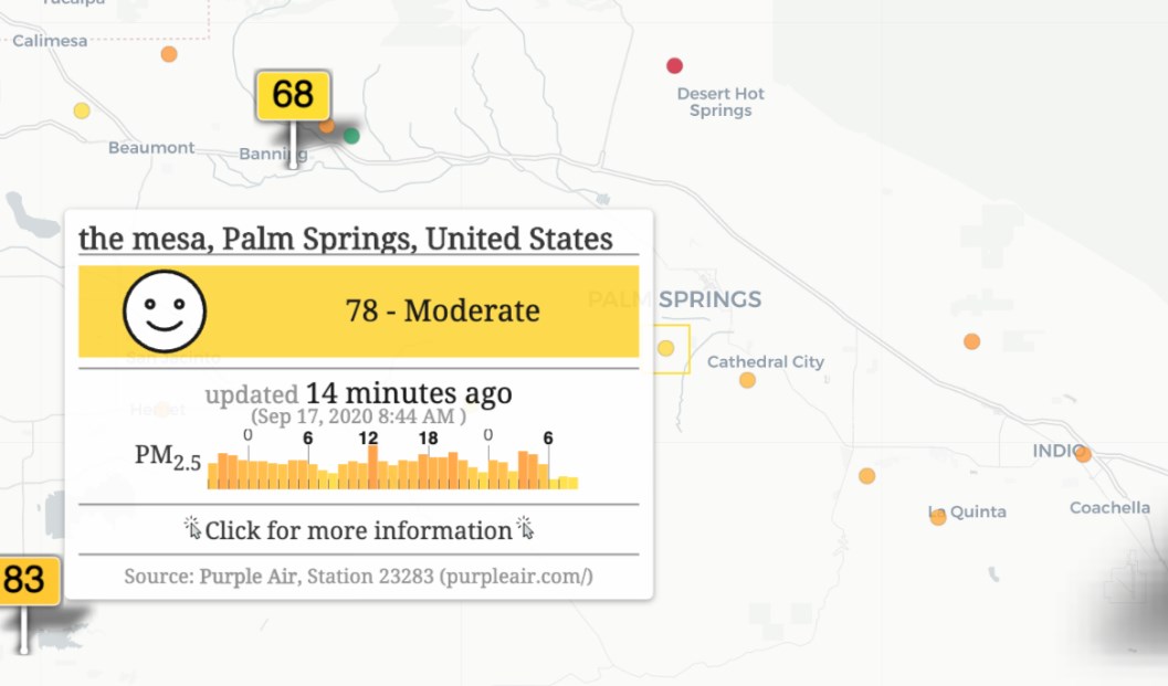
Air Pollution in California: Real-time Air Quality Index Visual Map
https://aqicn.org/map/california/
We are definitely in a moderate range, at 78 and we should be clearing up soon, especially with the winds keeping the smoke moving.
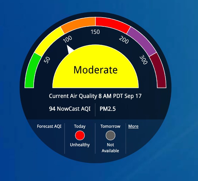
Air Now
https://www.airnow.gov/
Air Now is a government run site and for the Palm Springs area explains that “If you are unusually sensitive to particle pollution, consider reducing your activity level or shorten the amount of time you are active outdoors.” It also rates our area as moderate and at a 94.

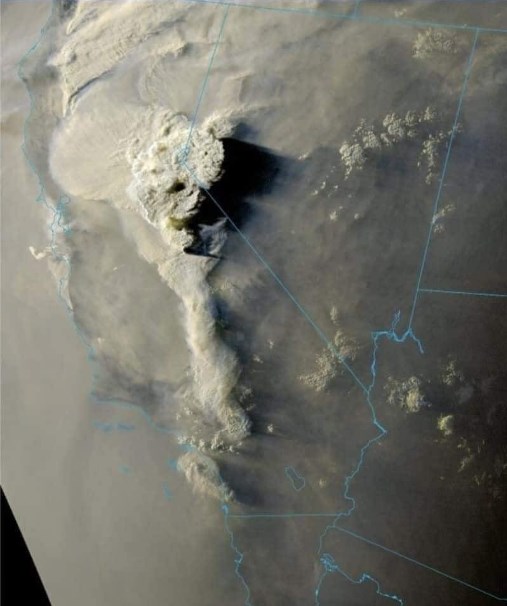
While all of California is feeling the effects of the fires, it has been crazy to see the extent of which it shows on satellite images!
Here is an image we came across recently:
Let us know if you have any other information worth sharing! 🙂
Stay Safe and Healthy!